Smile for google Shiny happy people USA December 18, 2013 by fisgonmorboson fisgonmorboson · Reply Larger Please wait...
Pulled over USA December 17, 2013December 16, 2013 by StreetViewFun.com StreetViewFun.com · Reply Please wait...
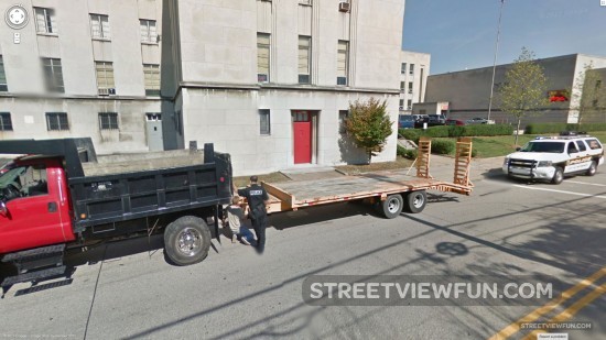
Multitasking Google Street View crew Google crew, car etc UK December 17, 2013December 16, 2013 by StreetViewFun.com StreetViewFun.com · Reply Larger Please wait...
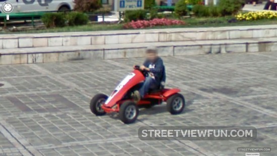
Driving around Cars Romania December 16, 2013December 16, 2013 by StreetViewFun.com StreetViewFun.com · Reply Larger Please wait...
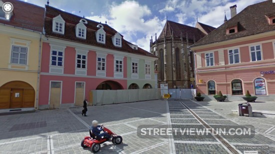
Yay, I’m on Street View Romania December 16, 2013December 16, 2013 by StreetViewFun.com StreetViewFun.com · Reply Larger Please wait...
Man’s best friend Animals Spain December 15, 2013August 16, 2018 by koureas koureas · Reply Larger Please wait...
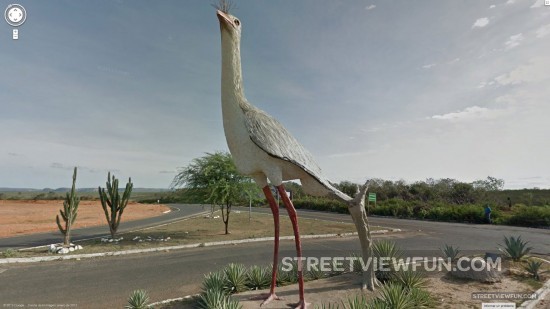
Big bird in Brazil Animals Art Brazil December 15, 2013 by StreetViewFun.com StreetViewFun.com · Reply Larger Please wait...
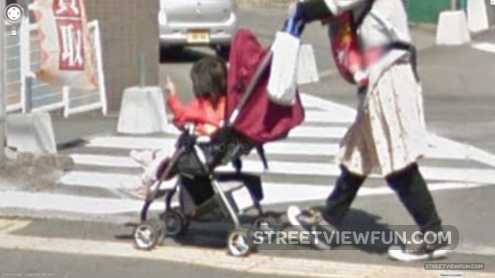
Japanese angry baby Japan December 14, 2013December 13, 2013 by zorgjeniet zorgjeniet · Reply Larger Please wait...