Larger (thanks Daniel)
Category: Other Google Maps
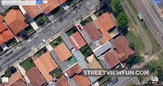
Brazilian Zündapp fan
Larger (thanks Daniel)
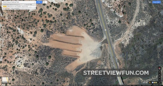
Creepy

Larger (thanks Kate)
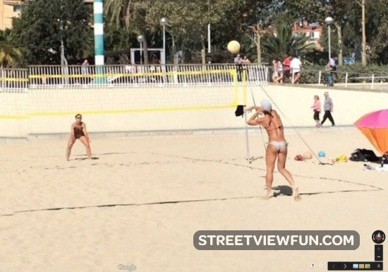
Nice serve!
Larger (thanks Bill)
WTF bird?
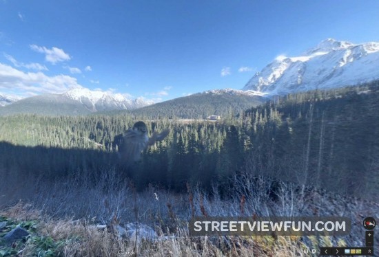
Larger (thanks Jesper)
Half a guy and his shoes
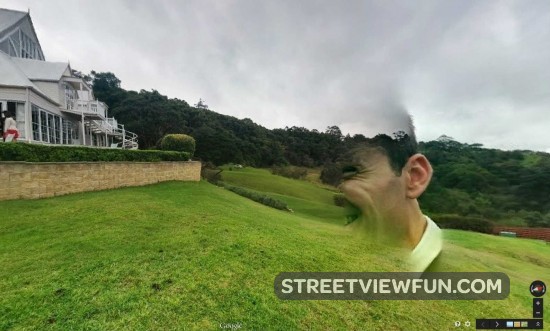
Larger (thanks Jayden)
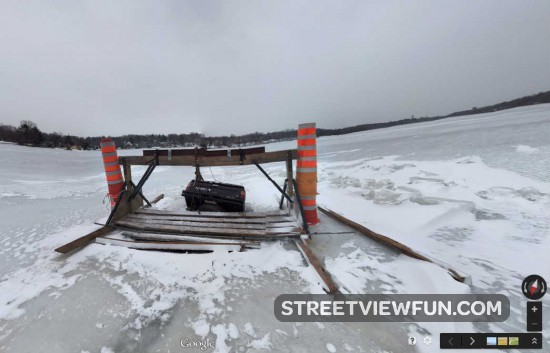
Car on thin ice…
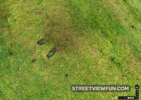
I wonder where my legs went?
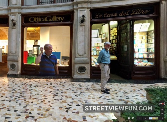
Larger (thanks Alessandro)