Category: Other Google Maps
Renamed street in Manchester

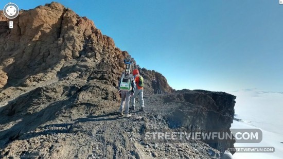
Google Street View go in Antarctica
This is a Google 360 degrees Sphere image. Anyone can post these kind of panorama images to Google Maps, so it’s not the real Street View images. But this sphere is special. It shows a Google guy with the Street View cameras in a backpack. The image was taken/added in January 2013 by Bryan Kiechle.
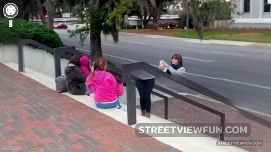
Watch out for those stair handles
The World seen from a google satellite
Mitt knows how to get your attention
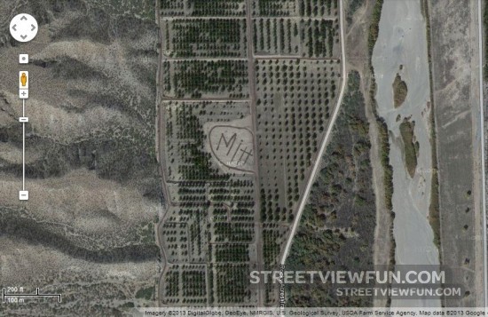
Photo sphere images from Brunei
Since we don’t have any official Street View images from Brunei yet, we offer you this photo sphere instead. Photos by Azry Jawi.
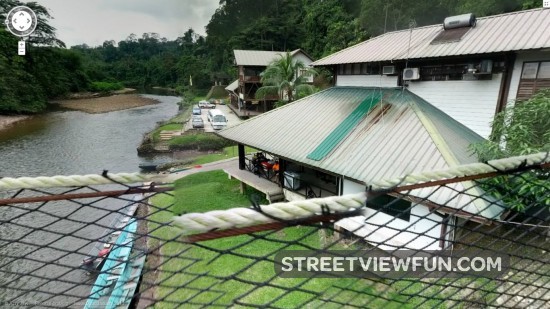
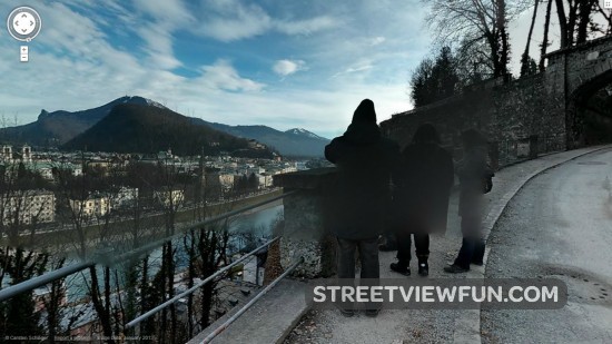
Photo spheres are posted by users to Google Maps and displayed in a similar way as Street View. The main difference is you can only pan around, you can’t take steps to another location like on Google Maps Street View.
Spooky surveillance
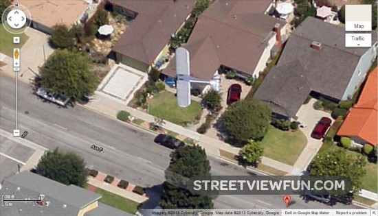
This is how low planes can fly!
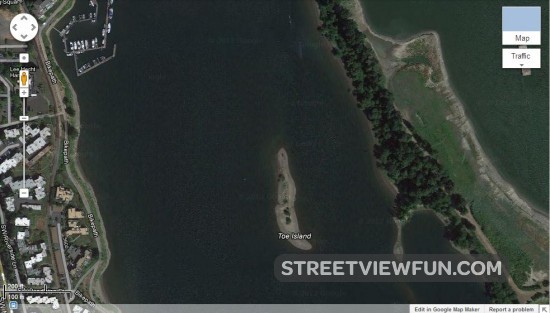
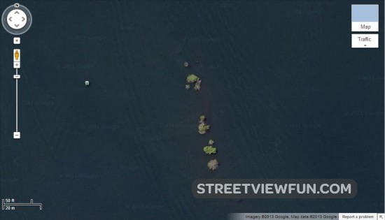
Watch Toe Island disappear before your eyes on Google Maps satellite images
Toe Island is located in the Willamette river in Portland, Oregon. This tiny island is described as a navigational hazard and it’s easy to see why when you zoom in on Google Maps.
Local copies of the satellite images can be seen here too: