Category: About Street View
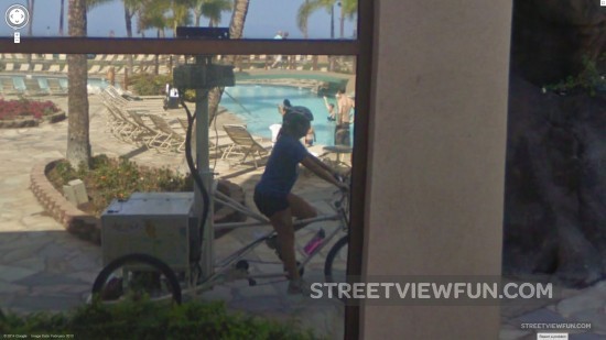
Street View car parked in Arizona neighborhood
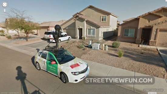
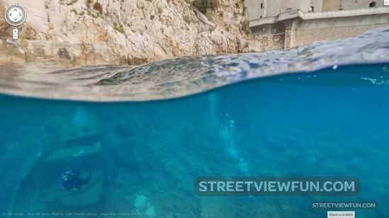
Google underwater coming to Sydney
Today Google announced new underwater images are coming to Google Maps Street View. This time from the ocean outside Sydney. Here’s a preview of the underwater camera used and what we could expect to see. This image was taken at North Bondi Beach.
Since the Catlin Seaview Survey first collected underwater imagery of the Great Barrier Reef, they’ve traveled to many other underwater spots around the world to collect a baseline photographic record of the marine environment.
Now, they’re teaming up with the Sydney Institute of Marine Science to record and reveal the marine life along Sydney’s famous Harbour and coastline, from Manly to Bronte. The project uses Catlin Seaview Survey’s 360-degree panoramic SVII camera to gather the imagery, which will be published to Google Maps later this year. (source)
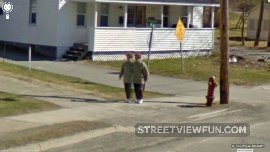
Google Maps is right behind you

Cam error
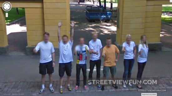
Posing for Google in Finland
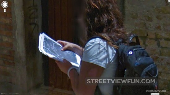
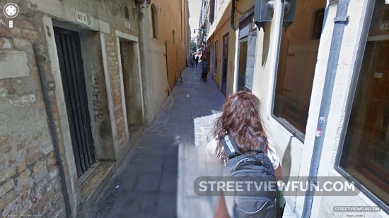
Two-headed monster
Larger (thanks Johan)
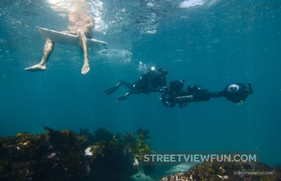
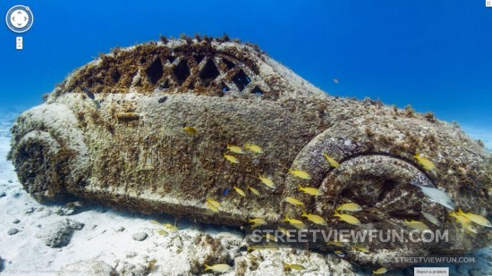
Dive into the ocean with new Google Street View images from Mexico, Monaco and the US
Catlin SeaView Survey have announced the addition of new underwater images from around the world. The images are now included on Google Street View. You can take a look at what’s beneath the surface at the Larvotto Marine Reserve in Monaco, Sian Ka’an in Mexico and the San Francisco Bay shoreline in the US. Some of the amazing images we’ve found so far we’ve included here. More to come.
Monaco Larger
Isla Contoy, Mexico Larger
More images & list of locations for the new ocean Street View images
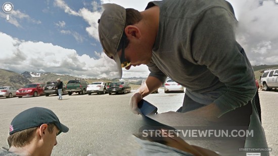
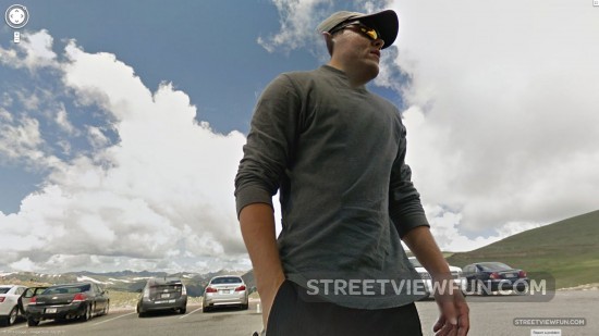
Google spy on Google crew
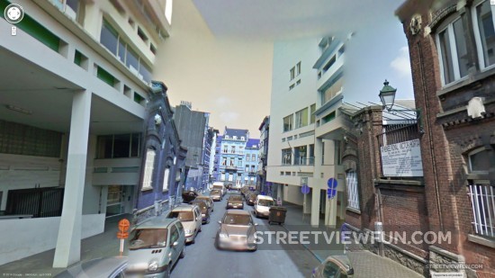
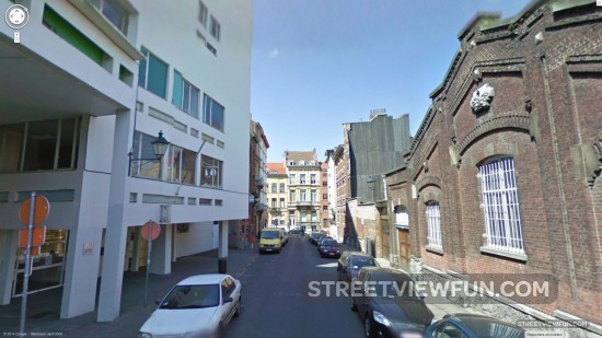
Tiny Google car in Belgium