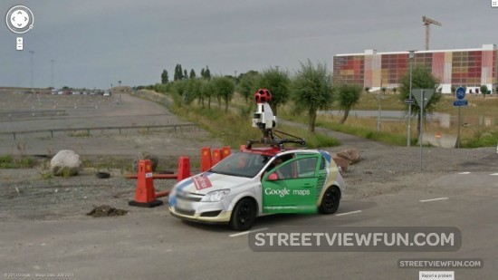

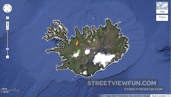
Over the next two months Google Street View will photograph all around Iceland using two cars. Expect another 6-12 months for them to release the images on Google Maps.
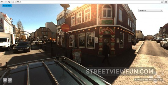
There is already a similar 360 degree Street View service in Iceland, named Já 360. Images are so far only available from a few roads.
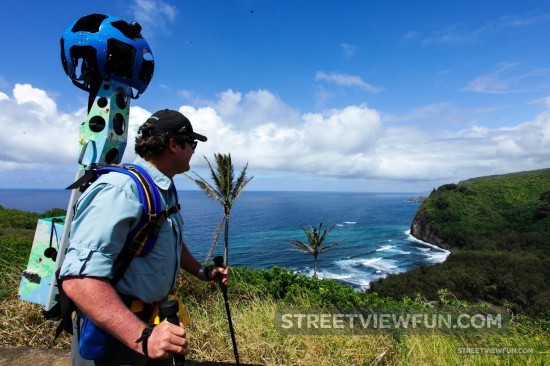
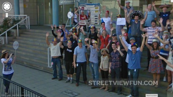
Now Google open up the opportunity for anyone to take Street View images with the famous trekker backpack. You or your organization can apply here.
We’re working to build the very best map of the world, and we’d love your help to do it. Today we’re kicking off a pilot program that enables third party organizations to borrow the Street View Trekker and contribute imagery to Google Maps. For the first time ever, this program will enable organizations to use our camera equipment to collect 360-degree photos of the places they know best — helping us make Google Maps more comprehensive and useful for all. This program is part of our ongoing effort to make it possible for anyone to contribute to Google Maps.
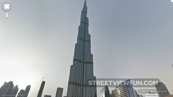
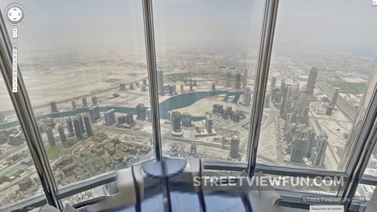
This is the tallest skyscraper in the world – Burj Khalifa in Dubai, United Arab Emirates. And it’s also the first Google Street View location from the Arab world.
You can even go inside the skyscraper on Street View: “Visit the highest occupied floor in the world on the 163rd floor, experience being in the fastest-moving elevators in the world (at 22 mph) and check out the highest swimming pool in the world on the 76th floor.”
I think I can see some skyscrapers down there… (on floor 154)